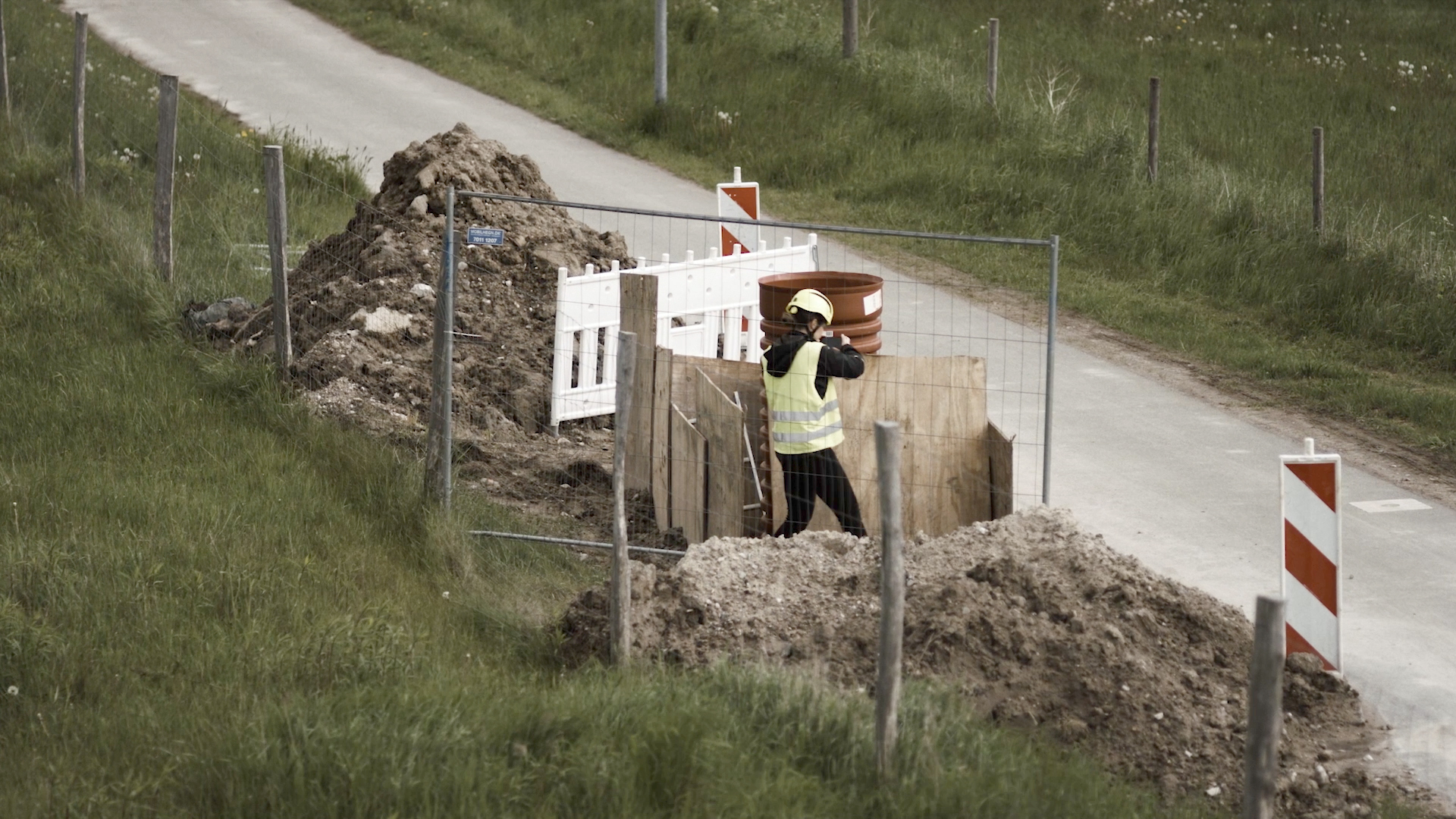
Explore the groundbreaking use of Smartphone-Based Reality Capture (RC) technology by Danish water utility companies, revolutionizing subsurface utility documentation. Delve into their experiences, highlighting the accuracy, efficiency, and planning improvements brought about by RC. Gain insights into the workflow behind generating geolocated as-built point clouds of subsurface utility excavation holes, alongside conventional surveying methods. Evaluate the geospatial accuracy of the point clouds generated from water pipes and discover the added value RC brings compared to traditional surveying. Uncover challenges and limitations while assessing the usefulness of RC through semi-structured interviews.
Vil du læse mere? Så kan du følge linket herunder og downloade en PDF
https://isprs-archives.copernicus.org/articles/XLVI-4-W4-2021/25/2021/
